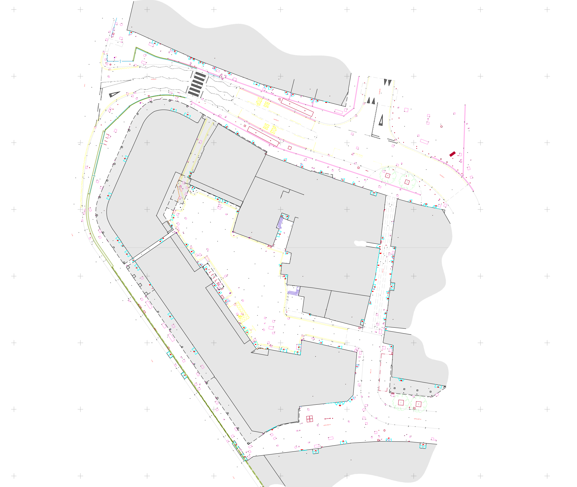
topographical survey
We carry out topographical surveys on a wide array of sites ranging from farm tracks and domestic gardens to 300 acre developments and national heritage sites.
Land surveys can detail surfaces & topography for engineering works and record the condition of projects at different stages making an accurate record of a building for quality control and certification purposes.
Other purposes include:
Residential planning and housing / commercial redevelopment
Location of trees and canopies for garden design or tree survey
Location of boundaries for disputes
Conservation or historical records
Motorway design
Creation of a 3D model
Details include drainage, adjacent buildings, motorways, vegetation, overground utilities and more.
How It Works
step 2 ▸ Estimate
Receive our quote with a simple tick list where prices and services are 100% clear.
step 3 ▸ Completion
We keep you updated throughout the job process and share the completed survey for your approval.
Contact us
get a free quote ▸
Get to know us…


