OUR SERVICES
Our team uses the latest Leica Flexline total stations and DJI drone to capture data in either 2D or 3D with output in a wide range of formats. All surveys are tailored to clients' specific requirements.
We pride ourselves on our professional approach, and adherence to the highest of standards is guaranteed as our surveys are completed in accordance with the RICS Specification for ‘Measured Surveys of Land, Buildings and Utilities’ 3rd Edition (see here).
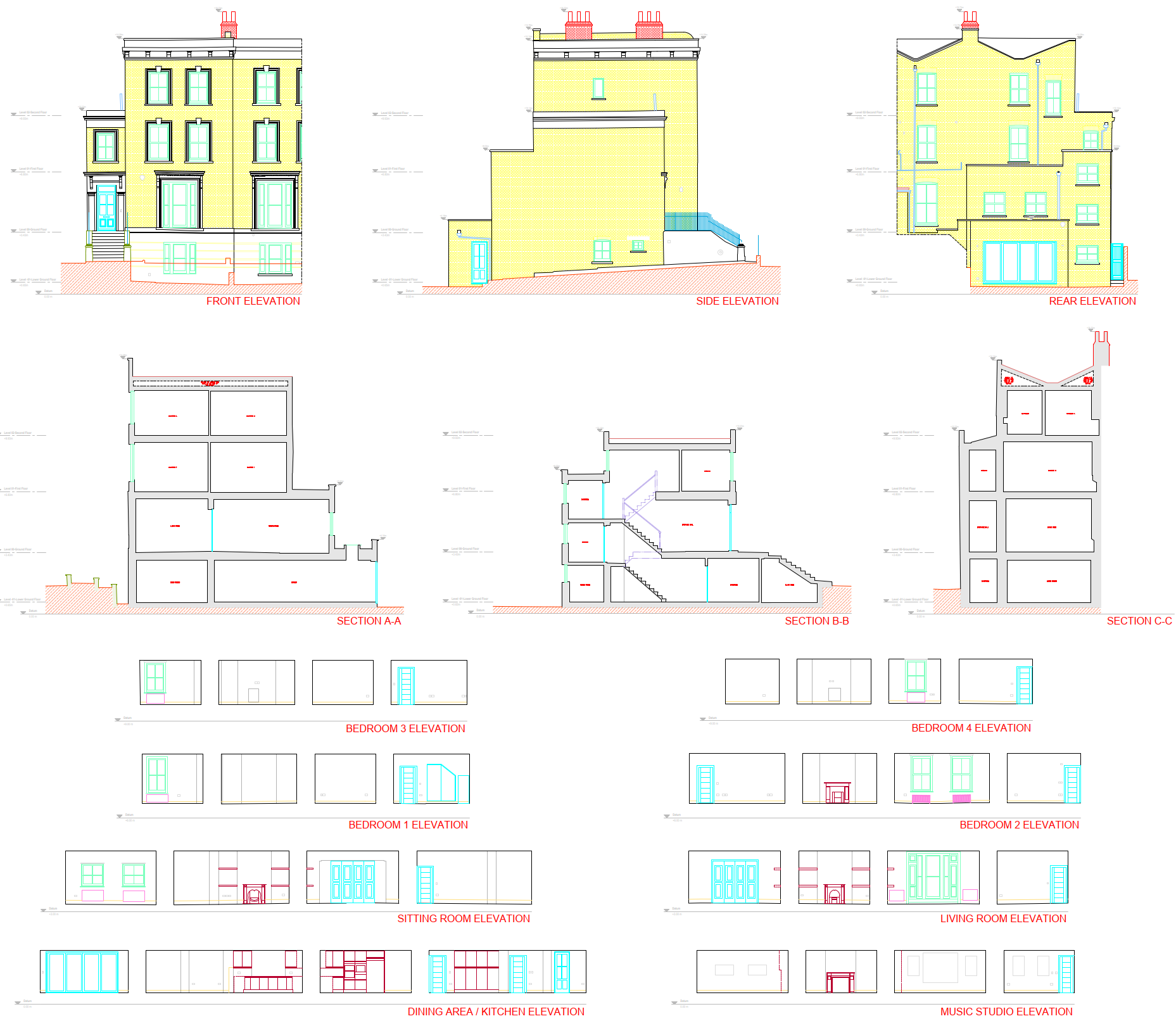
Measured Building Survey
An MBS includes floor plans, elevations, sections, loft plans, roof plans and reflected ceiling plans.
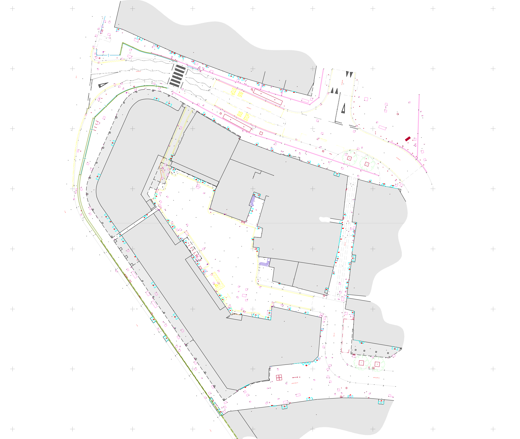
Topographical Survey
Also known as land surveys, these involve the production of maps and plans which represent features of both the natural and built environments.
UAV Survey & Inspection
Our qualified CAA PfCO drone pilot can safely capture high-resolution imagery using our DJI drone, allowing data analysis for inaccessible, hazardous and large-scale sites.
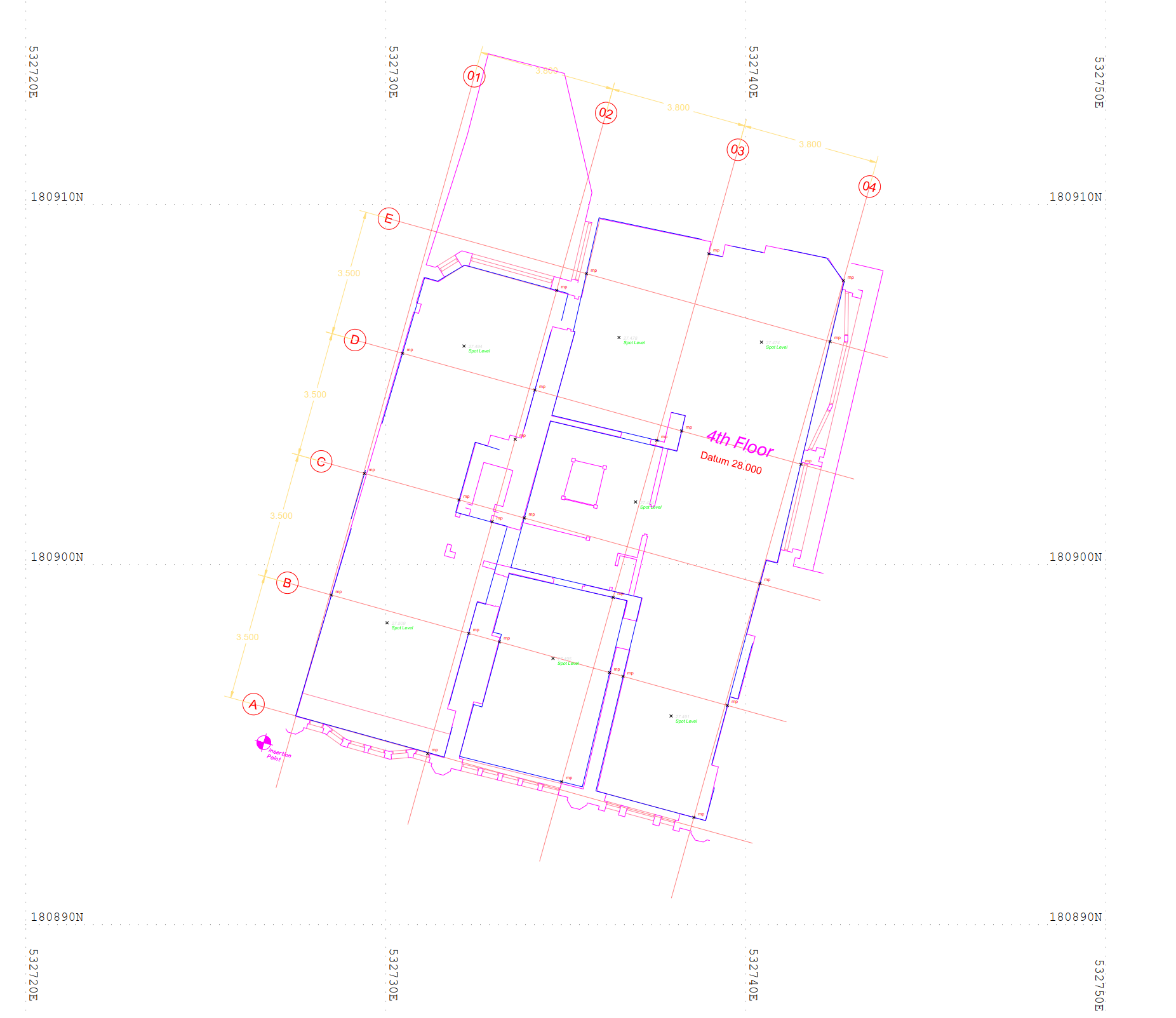
Setting Out Survey
Setting out, also known as site layout or staking out, is a crucial stage in construction and civil engineering. It involves transferring the measurements and positions from technical design drawings to the physical site, ensuring that each element of a project is built in the correct location, size, and alignment.
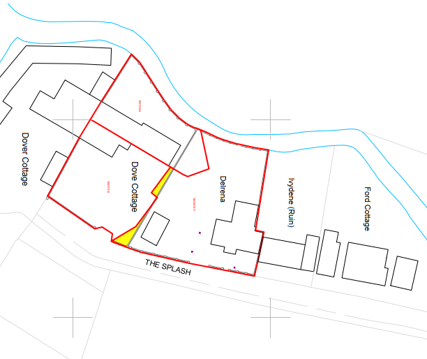
Boundary Survey
Land Registry compliant transfer drawings are required by solicitors to legally transfer land and property between or in-out of titles; a well done boundary survey will eliminate boundary complications during the transfer process.
3D Laser Scan
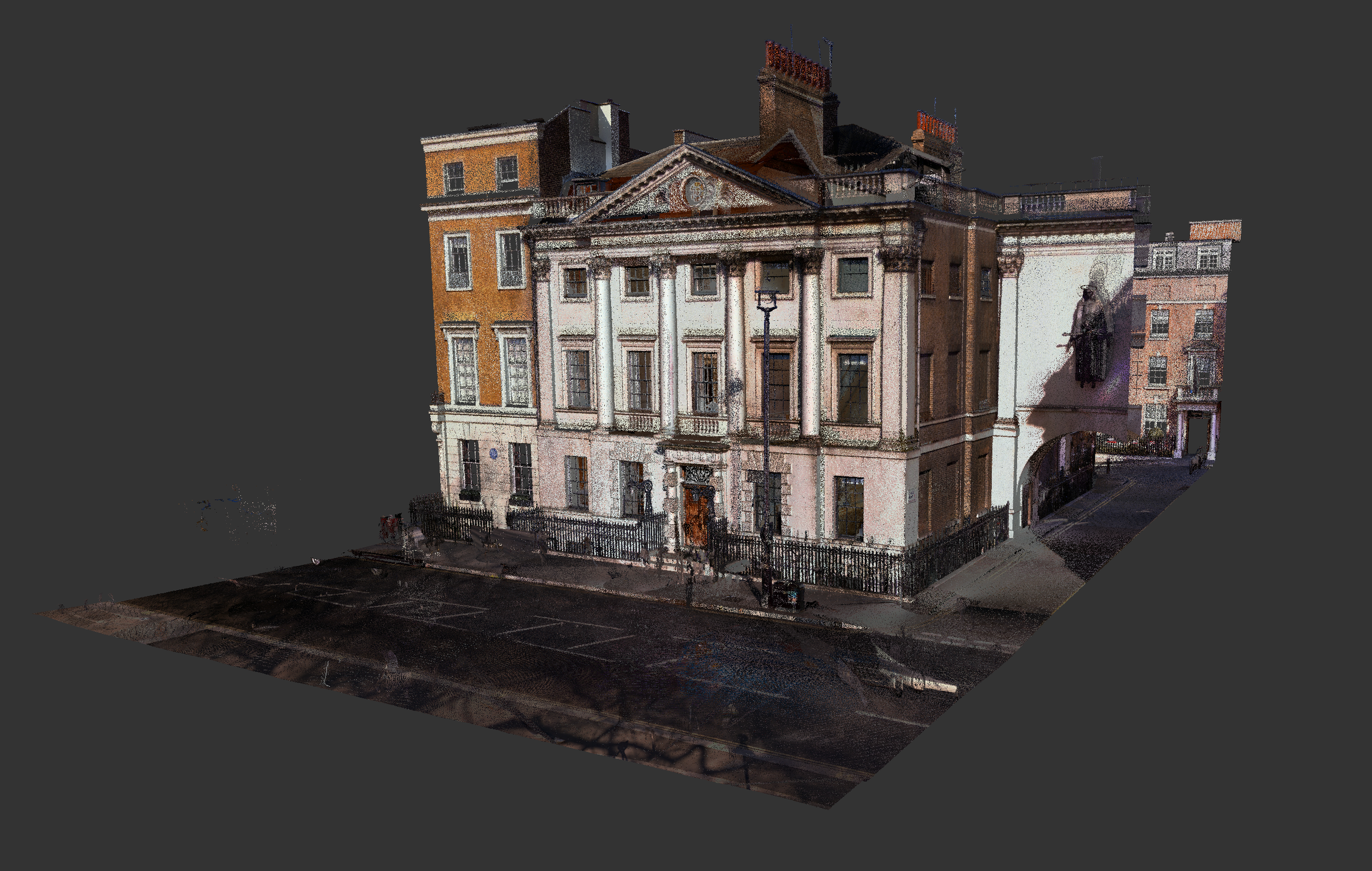
For the best option in terms of speed, accuracy and safety try 3D scanning.
Area Referencing Survey
We can also carry out area surveys for rating and valuation purposes. These can verify the precise size of commercial or residential property, which in turn helps in negotiating the best lease, rent rates and sale prices.
Other…
If there is any other service that we can help you with related to your geospatial needs please feel free to let us know. This may include raw data collection (without drawings) or simple measuring services.
How It Works
step 2 ▸ Estimate
Receive our quote with a simple tick list where prices and services are 100% clear.
step 3 ▸ Completion
We keep you updated throughout the job process and share the completed survey for your approval.
Contact us
get a free quote ▸
Get to know us…


